Where is Allen County, Indiana?
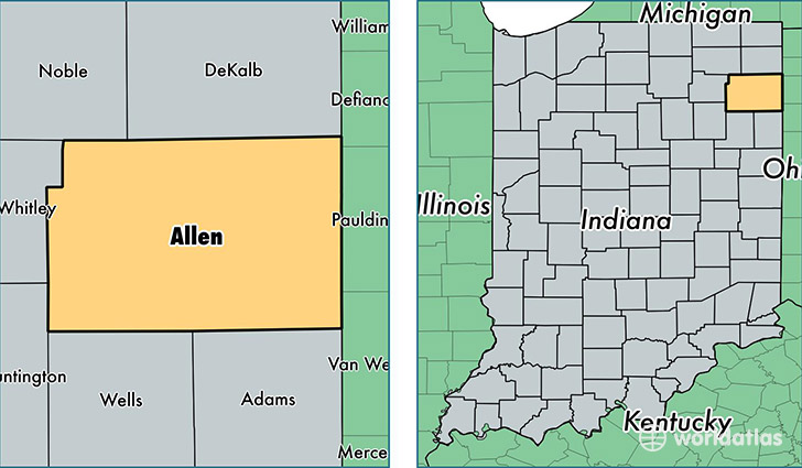
Allen County is a county equivalent area found in Indiana, USA. The county government of Allen is found in the county seat of Fort Wayne.
With a total 1,709.45 sq. km of land and water area, Allen County, Indiana is the 1537th largest county equivalent area in the United States. Home to 365,918 people, Allen County has a total 153508 households earning 49370 on average per year.
Allen County, Indiana - Quick Facts
| FIPS Code | 18003 |
| Area Codes | 260 |
| Time Zone | EST |
| Major Cities | Fort Wayne (population: 309,765), New Haven (population: 16,236), Leo (population: 5,417), Huntertown (population: 5,206), Grabill (population: 4,713), Woodburn (population: 4,013), Monroeville (population: 3,712), Spencerville (population: 3,290), Harlan (population: 1,999), Hoagland (population: 1,867) |
| Land Area | 141,282 sq miles |
| Water Area | 657 sq miles |
| Household Income | $49,370 |
| Housing Units | 153,508 |
| Median Home Value | $112,700 |
| High School Grads | 89% of population |
| Holders of Bachelors Degrees | 26% of population |
| Retail Spending | $13,667 per capita |
| Food & Accomodation Sales | $550,450 per capita |
| Universities and Colleges | International Business College, Taylor University Fort Wayne |
This page was last updated on June 30, 2016.