Where is Williamson County, Illinois?
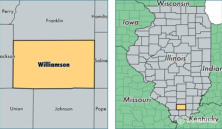
Williamson County is a county equivalent area found in Illinois, USA. The county government of Williamson is found in the county seat of Marion.
With a total 1,150.87 sq. km of land and water area, Williamson County, Illinois is the 2365th largest county equivalent area in the United States. Home to 67,008 people, Williamson County has a total 30593 households earning 43125 on average per year.
Williamson County, Illinois - Quick Facts
| FIPS Code | 17199 |
| Area Codes | 618 |
| Time Zone | CST |
| Major Cities | Marion (population: 27,076), Herrin (population: 12,926), Carterville (population: 9,839), Johnston City (population: 5,377), Creal Springs (population: 3,139), Pittsburg (population: 1,407), Energy (population: 1,235), Hurst (population: 813), Colp (population: 376), Cambria (population: 322) |
| Land Area | 25,872 sq miles |
| Water Area | 420 sq miles |
| Household Income | $43,125 |
| Housing Units | 30,593 |
| Median Home Value | $93,700 |
| High School Grads | 89% of population |
| Holders of Bachelors Degrees | 23% of population |
| Retail Spending | $15,370 per capita |
| Food & Accomodation Sales | $118,603 per capita |
| Universities and Colleges | John A Logan College |
This page was last updated on June 30, 2016.