Where is White County, Illinois?
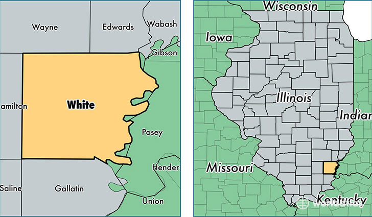
White County is a county equivalent area found in Illinois, USA. The county government of White is found in the county seat of Carmi.
With a total 1,299.81 sq. km of land and water area, White County, Illinois is the 2173rd largest county equivalent area in the United States. Home to 14,374 people, White County has a total 7100 households earning 42914 on average per year.
White County, Illinois - Quick Facts
| FIPS Code | 17193 |
| Area Codes | 618 |
| Time Zone | CST |
| Major Cities | Carmi (population: 7,606), Norris City (population: 2,664), Grayville (population: 2,070), Crossville (population: 1,236), Enfield (population: 1,144), Mill Shoals (population: 361), Springerton (population: 292), Burnt Prairie (population: 160), Maunie (population: 127) |
| Land Area | 5,550 sq miles |
| Water Area | 495 sq miles |
| Household Income | $42,914 |
| Housing Units | 7,100 |
| Median Home Value | $72,200 |
| High School Grads | 85% of population |
| Holders of Bachelors Degrees | 14% of population |
| Retail Spending | $8,392 per capita |
| Food & Accomodation Sales | $11,408 per capita |
This page was last updated on June 30, 2016.