Where is Tazewell County, Illinois?
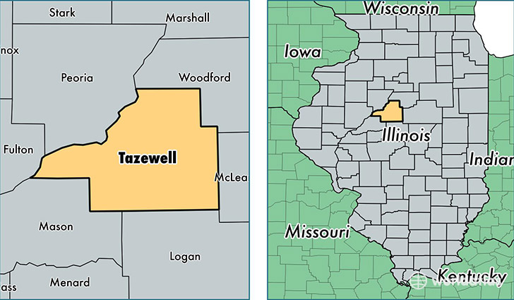
Tazewell County is a county equivalent area found in Illinois, USA. The county government of Tazewell is found in the county seat of Pekin.
With a total 1,704.05 sq. km of land and water area, Tazewell County, Illinois is the 1546th largest county equivalent area in the United States. Home to 135,707 people, Tazewell County has a total 57759 households earning 56067 on average per year.
Tazewell County, Illinois - Quick Facts
| FIPS Code | 17179 |
| Area Codes | 309 |
| Time Zone | CST |
| Major Cities | Pekin (population: 43,989), East Peoria (population: 25,386), Washington (population: 23,841), Morton (population: 17,793), Creve Coeur (population: 5,498), Mackinaw (population: 4,688), Tremont (population: 4,477), Delavan (population: 2,878), Green Valley (population: 1,744), Groveland (population: 1,635) |
| Land Area | 52,397 sq miles |
| Water Area | 649 sq miles |
| Household Income | $56,067 |
| Housing Units | 57,759 |
| Median Home Value | $132,000 |
| High School Grads | 92% of population |
| Holders of Bachelors Degrees | 24% of population |
| Retail Spending | $13,424 per capita |
| Food & Accomodation Sales | $353,944 per capita |
This page was last updated on June 30, 2016.