Where is Stark County, Illinois?
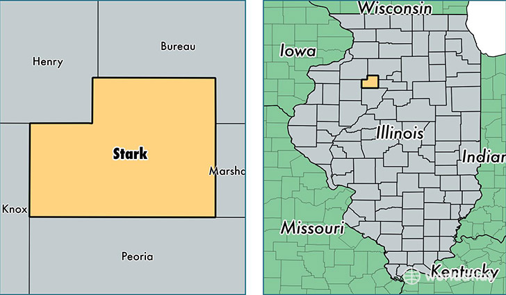
Stark County is a county equivalent area found in Illinois, USA. The county government of Stark is found in the county seat of Toulon.
With a total 746.83 sq. km of land and water area, Stark County, Illinois is the 2865th largest county equivalent area in the United States. Home to 5,813 people, Stark County has a total 2651 households earning 54203 on average per year.
Stark County, Illinois - Quick Facts
| FIPS Code | 17175 |
| Area Codes | 309 |
| Time Zone | CST |
| Major Cities | Wyoming (population: 2,178), Toulon (population: 1,945), Bradford (population: 1,377), La Fayette (population: 507), Speer (population: 162), Castleton (population: 106) |
| Land Area | 2,244 sq miles |
| Water Area | 288 sq miles |
| Household Income | $54,203 |
| Housing Units | 2,651 |
| Median Home Value | $88,300 |
| High School Grads | 88% of population |
| Holders of Bachelors Degrees | 17% of population |
| Retail Spending | $9,404 per capita |
| Food & Accomodation Sales | $1,352 per capita |
This page was last updated on June 30, 2016.