Where is Ogle County, Illinois?
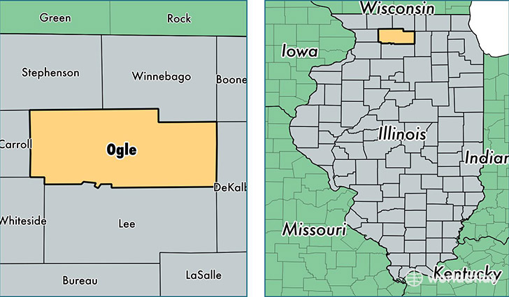
Ogle County is a county equivalent area found in Illinois, USA. The county government of Ogle is found in the county seat of Oregon.
With a total 1,976.13 sq. km of land and water area, Ogle County, Illinois is the 1257th largest county equivalent area in the United States. Home to 52,085 people, Ogle County has a total 22501 households earning 54541 on average per year.
Ogle County, Illinois offers the following attraction to visitors: Chana School
Ogle County, Illinois - Quick Facts
| FIPS Code | 17141 |
| Area Codes | 815 |
| Time Zone | CST |
| Major Cities | Rochelle (population: 14,676), Byron (population: 7,934), Oregon (population: 6,923), Mount Morris (population: 3,924), Polo (population: 3,820), Stillman Valley (population: 3,136), Davis Junction (population: 3,070), Forreston (population: 2,178), Leaf River (population: 1,690), Monroe Center (population: 1,134) |
| Land Area | 20,110 sq miles |
| Water Area | 759 sq miles |
| Household Income | $54,541 |
| Housing Units | 22,501 |
| Median Home Value | $149,500 |
| High School Grads | 89% of population |
| Holders of Bachelors Degrees | 20% of population |
| Retail Spending | $8,257 per capita |
| Food & Accomodation Sales | $43,365 per capita |
This page was last updated on June 30, 2016.