Where is Lawrence County, Illinois?
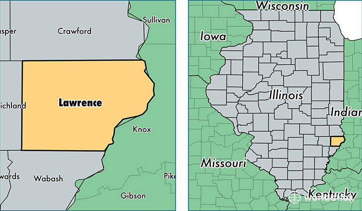
Lawrence County is a county equivalent area found in Illinois, USA. The county government of Lawrence is found in the county seat of Lawrenceville.
With a total 969.01 sq. km of land and water area, Lawrence County, Illinois is the 2679th largest county equivalent area in the United States. Home to 16,519 people, Lawrence County has a total 6886 households earning 40145 on average per year.
Lawrence County, Illinois - Quick Facts
| FIPS Code | 17101 |
| Area Codes | 618 |
| Time Zone | CST |
| Major Cities | Lawrenceville (population: 7,433), Sumner (population: 4,782), Bridgeport (population: 3,022), Saint Francisville (population: 1,214) |
| Land Area | 6,378 sq miles |
| Water Area | 372 sq miles |
| Household Income | $40,145 |
| Housing Units | 6,886 |
| Median Home Value | $65,900 |
| High School Grads | 76% of population |
| Holders of Bachelors Degrees | 8% of population |
| Retail Spending | $4,923 per capita |
This page was last updated on June 30, 2016.