Where is Jefferson County, Illinois?
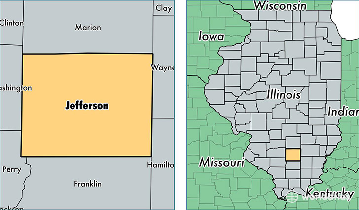
Jefferson County is a county equivalent area found in Illinois, USA. The county government of Jefferson is found in the county seat of Mount Vernon.
With a total 1,511.99 sq. km of land and water area, Jefferson County, Illinois is the 1809th largest county equivalent area in the United States. Home to 38,534 people, Jefferson County has a total 16757 households earning 42981 on average per year.
Jefferson County, Illinois - Quick Facts
| FIPS Code | 17081 |
| Area Codes | 618 |
| Time Zone | CST |
| Major Cities | Mount Vernon (population: 24,041), Ina (population: 2,623), Bluford (population: 2,115), Woodlawn (population: 2,091), Dix (population: 1,387), Bonnie (population: 1,302), Opdyke (population: 1,174), Belle Rive (population: 1,085), Waltonville (population: 1,003), Texico (population: 846) |
| Land Area | 14,878 sq miles |
| Water Area | 571 sq miles |
| Household Income | $42,981 |
| Housing Units | 16,757 |
| Median Home Value | $86,300 |
| High School Grads | 87% of population |
| Holders of Bachelors Degrees | 16% of population |
| Retail Spending | $14,157 per capita |
| Food & Accomodation Sales | $67,783 per capita |
| Universities and Colleges | Rend Lake College |
This page was last updated on June 30, 2016.