Where is Henderson County, Illinois?
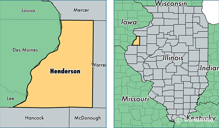
Henderson County is a county equivalent area found in Illinois, USA. The county government of Henderson is found in the county seat of Oquawka.
With a total 1,023.61 sq. km of land and water area, Henderson County, Illinois is the 2623rd largest county equivalent area in the United States. Home to 6,916 people, Henderson County has a total 3805 households earning 49389 on average per year.
Henderson County, Illinois - Quick Facts
| FIPS Code | 17071 |
| Area Codes | 309,217 |
| Time Zone | CST |
| Major Cities | Oquawka (population: 2,098), Stronghurst (population: 1,271), Gladstone (population: 785), Lomax (population: 696), Biggsville (population: 646), Carman (population: 464), Media (population: 279), Raritan (population: 134) |
| Land Area | 2,670 sq miles |
| Water Area | 379 sq miles |
| Household Income | $49,389 |
| Housing Units | 3,805 |
| Median Home Value | $83,700 |
| High School Grads | 88% of population |
| Holders of Bachelors Degrees | 16% of population |
| Retail Spending | $3,462 per capita |
| Food & Accomodation Sales | $1,914 per capita |
This page was last updated on June 30, 2016.