Where is Hardin County, Illinois?
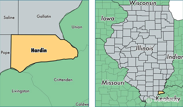
Hardin County is a county equivalent area found in Illinois, USA. The county government of Hardin is found in the county seat of Elizabethtown.
With a total 470.29 sq. km of land and water area, Hardin County, Illinois is the 3047th largest county equivalent area in the United States. Home to 4,129 people, Hardin County has a total 2452 households earning 37071 on average per year.
Hardin County, Illinois - Quick Facts
| FIPS Code | 17069 |
| Area Codes | 618 |
| Time Zone | CST |
| Major Cities | Elizabethtown (population: 1,547), Rosiclare (population: 1,308), Cave in Rock (population: 988) |
| Land Area | 1,594 sq miles |
| Water Area | 178 sq miles |
| Household Income | $37,071 |
| Housing Units | 2,452 |
| Median Home Value | $72,600 |
| High School Grads | 83% of population |
| Holders of Bachelors Degrees | 12% of population |
| Retail Spending | $3,219 per capita |
| Food & Accomodation Sales | $1,016 per capita |
This page was last updated on June 30, 2016.