Where is Greene County, Illinois?
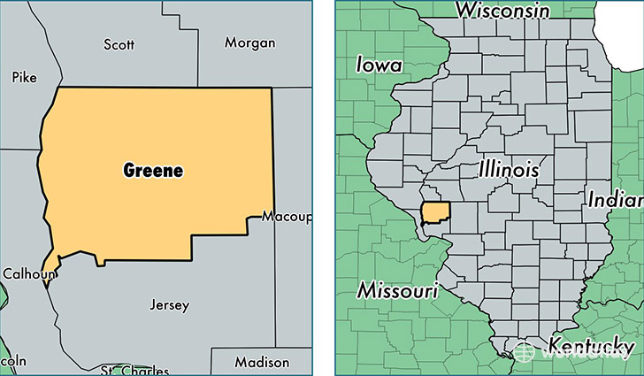
Greene County is a county equivalent area found in Illinois, USA. The county government of Greene is found in the county seat of Carrollton.
With a total 1,414.84 sq. km of land and water area, Greene County, Illinois is the 2016th largest county equivalent area in the United States. Home to 13,434 people, Greene County has a total 6316 households earning 43502 on average per year.
Greene County, Illinois - Quick Facts
| FIPS Code | 17061 |
| Area Codes | 217,618 |
| Time Zone | CST |
| Major Cities | Carrollton (population: 3,730), Roodhouse (population: 3,041), White Hall (population: 2,912), Greenfield (population: 1,965), Kane (population: 853), Eldred (population: 524), Hillview (population: 462), Rockbridge (population: 291), Patterson (population: 116), Wrights (population: 88) |
| Land Area | 5,187 sq miles |
| Water Area | 543 sq miles |
| Household Income | $43,502 |
| Housing Units | 6,316 |
| Median Home Value | $75,200 |
| High School Grads | 89% of population |
| Holders of Bachelors Degrees | 13% of population |
| Retail Spending | $7,009 per capita |
This page was last updated on June 30, 2016.