Where is Franklin County, Illinois?
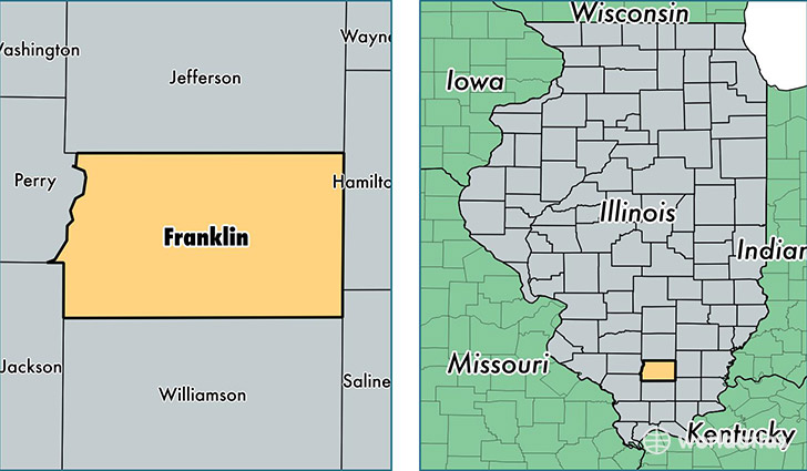
Franklin County is a county equivalent area found in Illinois, USA. The county government of Franklin is found in the county seat of Benton.
With a total 1,117.43 sq. km of land and water area, Franklin County, Illinois is the 2438th largest county equivalent area in the United States. Home to 39,411 people, Franklin County has a total 18333 households earning 36273 on average per year.
Franklin County, Illinois - Quick Facts
| FIPS Code | 17055 |
| Area Codes | 618 |
| Time Zone | CST |
| Major Cities | West Frankfort (population: 12,583), Benton (population: 11,221), Sesser (population: 2,928), Thompsonville (population: 2,875), Christopher (population: 2,563), Mulkeytown (population: 2,010), Zeigler (population: 1,821), Royalton (population: 1,498), Ewing (population: 797), Valier (population: 649) |
| Land Area | 15,217 sq miles |
| Water Area | 409 sq miles |
| Household Income | $36,273 |
| Housing Units | 18,333 |
| Median Home Value | $64,300 |
| High School Grads | 87% of population |
| Holders of Bachelors Degrees | 13% of population |
| Retail Spending | $9,236 per capita |
| Food & Accomodation Sales | $34,169 per capita |
This page was last updated on June 30, 2016.