Where is Fayette County, Illinois?
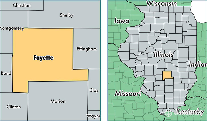
Fayette County is a county equivalent area found in Illinois, USA. The county government of Fayette is found in the county seat of Vandalia.
With a total 1,878.63 sq. km of land and water area, Fayette County, Illinois is the 1337th largest county equivalent area in the United States. Home to 21,870 people, Fayette County has a total 9195 households earning 44722 on average per year.
Fayette County, Illinois - Quick Facts
| FIPS Code | 17051 |
| Area Codes | 217,618 |
| Time Zone | CST |
| Major Cities | Vandalia (population: 10,174), Ramsey (population: 2,493), Saint Elmo (population: 2,215), Brownstown (population: 2,120), Farina (population: 1,489), Shobonier (population: 834), Saint Peter (population: 712), Bingham (population: 282) |
| Land Area | 8,444 sq miles |
| Water Area | 717 sq miles |
| Household Income | $44,722 |
| Housing Units | 9,195 |
| Median Home Value | $82,900 |
| High School Grads | 84% of population |
| Holders of Bachelors Degrees | 13% of population |
| Retail Spending | $10,846 per capita |
| Food & Accomodation Sales | $18,286 per capita |
This page was last updated on June 30, 2016.