Where is Crawford County, Illinois?
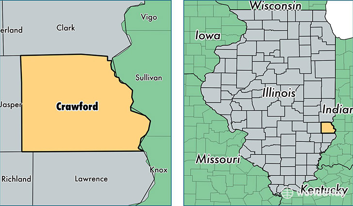
Crawford County is a county equivalent area found in Illinois, USA. The county government of Crawford is found in the county seat of Robinson.
With a total 1,154.66 sq. km of land and water area, Crawford County, Illinois is the 2360th largest county equivalent area in the United States. Home to 19,393 people, Crawford County has a total 8627 households earning 46216 on average per year.
Crawford County, Illinois - Quick Facts
| FIPS Code | 17033 |
| Area Codes | 618 |
| Time Zone | CST |
| Major Cities | Robinson (population: 11,341), Oblong (population: 3,140), Palestine (population: 2,132), Flat Rock (population: 1,682), Hutsonville (population: 987), Annapolis (population: 416) |
| Land Area | 7,488 sq miles |
| Water Area | 444 sq miles |
| Household Income | $46,216 |
| Housing Units | 8,627 |
| Median Home Value | $76,600 |
| High School Grads | 89% of population |
| Holders of Bachelors Degrees | 17% of population |
| Retail Spending | $8,419 per capita |
| Food & Accomodation Sales | $15,266 per capita |
This page was last updated on June 30, 2016.