Where is Woodbury County, Iowa?
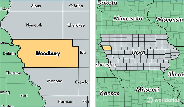
Woodbury County is a county equivalent area found in Iowa, USA. The county government of Woodbury is found in the county seat of Sioux City.
With a total 2,273.58 sq. km of land and water area, Woodbury County, Iowa is the 1025th largest county equivalent area in the United States. Home to 102,271 people, Woodbury County has a total 41326 households earning 45856 on average per year.
Woodbury County, Iowa - Quick Facts
| FIPS Code | 19193 |
| Area Codes | 712 |
| Time Zone | CST |
| Major Cities | Sioux City (population: 86,001), Sergeant Bluff (population: 5,117), Moville (population: 2,478), Lawton (population: 1,739), Correctionville (population: 1,380), Sloan (population: 1,318), Anthon (population: 1,034), Salix (population: 1,028), Hornick (population: 861), Danbury (population: 774) |
| Land Area | 39,487 sq miles |
| Water Area | 873 sq miles |
| Household Income | $45,856 |
| Housing Units | 41,326 |
| Median Home Value | $97,900 |
| High School Grads | 85% of population |
| Holders of Bachelors Degrees | 20% of population |
| Retail Spending | $14,913 per capita |
| Food & Accomodation Sales | $158,358 per capita |
| Universities and Colleges | Iowa School of Beauty |
This page was last updated on June 30, 2016.