Where is Wayne County, Iowa?
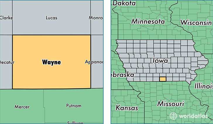
Wayne County is a county equivalent area found in Iowa, USA. The county government of Wayne is found in the county seat of Corydon.
With a total 1,365.29 sq. km of land and water area, Wayne County, Iowa is the 2080th largest county equivalent area in the United States. Home to 6,395 people, Wayne County has a total 3177 households earning 40024 on average per year.
Wayne County, Iowa - Quick Facts
| FIPS Code | 19185 |
| Area Codes | 641 |
| Time Zone | CST |
| Major Cities | Corydon (population: 2,483), Seymour (population: 1,234), Allerton (population: 869), Humeston (population: 809), Lineville (population: 434), Derby (population: 360), Promise City (population: 338), Clio (population: 136), Millerton (population: 48) |
| Land Area | 2,469 sq miles |
| Water Area | 525 sq miles |
| Household Income | $40,024 |
| Housing Units | 3,177 |
| Median Home Value | $62,300 |
| High School Grads | 88% of population |
| Holders of Bachelors Degrees | 14% of population |
| Retail Spending | $7,824 per capita |
This page was last updated on June 30, 2016.