Where is Wapello County, Iowa?
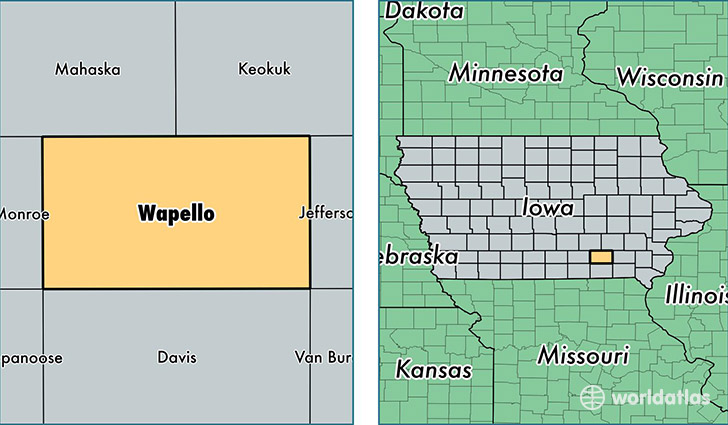
Wapello County is a county equivalent area found in Iowa, USA. The county government of Wapello is found in the county seat of Ottumwa.
With a total 1,129.29 sq. km of land and water area, Wapello County, Iowa is the 2409th largest county equivalent area in the United States. Home to 35,212 people, Wapello County has a total 15979 households earning 41425 on average per year.
Wapello County, Iowa - Quick Facts
| FIPS Code | 19179 |
| Area Codes | 641 |
| Time Zone | CST |
| Major Cities | Ottumwa (population: 30,000), Eddyville (population: 1,740), Eldon (population: 1,363), Agency (population: 997), Blakesburg (population: 962), Kirkville (population: 166), Chillicothe (population: 96) |
| Land Area | 13,595 sq miles |
| Water Area | 432 sq miles |
| Household Income | $41,425 |
| Housing Units | 15,979 |
| Median Home Value | $78,800 |
| High School Grads | 85% of population |
| Holders of Bachelors Degrees | 16% of population |
| Retail Spending | $14,167 per capita |
| Food & Accomodation Sales | $41,514 per capita |
| Universities and Colleges | Iowa School of Beauty |
This page was last updated on June 30, 2016.