Where is Sac County, Iowa?
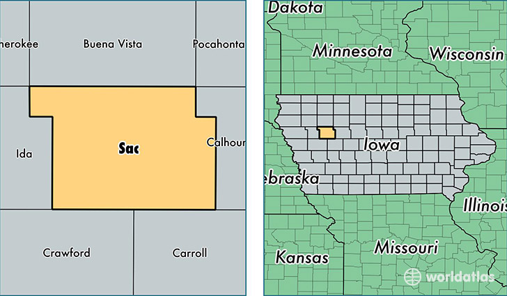
Sac County is a county equivalent area found in Iowa, USA. The county government of Sac is found in the county seat of Sac City.
With a total 1,497.87 sq. km of land and water area, Sac County, Iowa is the 1843rd largest county equivalent area in the United States. Home to 10,035 people, Sac County has a total 5397 households earning 48093 on average per year.
Sac County, Iowa - Quick Facts
| FIPS Code | 19161 |
| Area Codes | 712 |
| Time Zone | CST |
| Major Cities | Sac City (population: 2,800), Lake View (population: 1,552), Odebolt (population: 1,439), Schaller (population: 1,139), Wall Lake (population: 1,071), Early (population: 868), Auburn (population: 670), Nemaha (population: 221) |
| Land Area | 3,875 sq miles |
| Water Area | 575 sq miles |
| Household Income | $48,093 |
| Housing Units | 5,397 |
| Median Home Value | $79,700 |
| High School Grads | 91% of population |
| Holders of Bachelors Degrees | 19% of population |
| Retail Spending | $8,983 per capita |
This page was last updated on June 30, 2016.