Where is Pottawattamie County, Iowa?
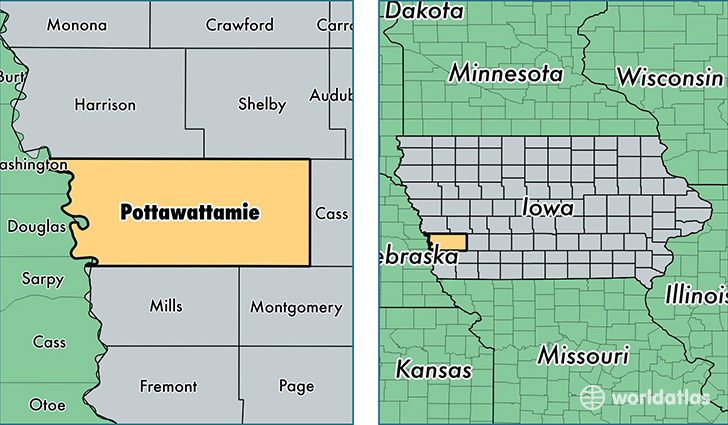
Pottawattamie County is a county equivalent area found in Iowa, USA. The county government of Pottawattamie is found in the county seat of Council Bluffs.
With a total 2,484.16 sq. km of land and water area, Pottawattamie County, Iowa is the 822nd largest county equivalent area in the United States. Home to 93,128 people, Pottawattamie County has a total 39419 households earning 51304 on average per year.
Pottawattamie County, Iowa offers the following attractions to visitors: USS Marlin (SST-2), USS Hazard (AM-240)
Pottawattamie County, Iowa - Quick Facts
| FIPS Code | 19155 |
| Area Codes | 712 |
| Time Zone | CST |
| Major Cities | Council Bluffs (population: 71,725), Carter Lake (population: 3,775), Underwood (population: 2,104), Oakland (population: 2,093), Avoca (population: 2,029), Neola (population: 1,781), Crescent (population: 1,748), Treynor (population: 1,611), Carson (population: 1,180), Walnut (population: 1,180) |
| Land Area | 35,957 sq miles |
| Water Area | 950 sq miles |
| Household Income | $51,304 |
| Housing Units | 39,419 |
| Median Home Value | $126,300 |
| High School Grads | 89% of population |
| Holders of Bachelors Degrees | 19% of population |
| Retail Spending | $16,784 per capita |
| Food & Accomodation Sales | $451,451 per capita |
| Universities and Colleges | E Q School of Hair Design |
This page was last updated on June 30, 2016.