Where is Mitchell County, Iowa?
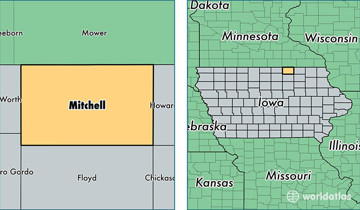
Mitchell County is a county equivalent area found in Iowa, USA. The county government of Mitchell is found in the county seat of Osage.
With a total 1,216.17 sq. km of land and water area, Mitchell County, Iowa is the 2285th largest county equivalent area in the United States. Home to 10,779 people, Mitchell County has a total 4875 households earning 51078 on average per year.
Mitchell County, Iowa - Quick Facts
| FIPS Code | 19131 |
| Area Codes | 641 |
| Time Zone | CST |
| Major Cities | Osage (population: 5,586), Saint Ansgar (population: 2,382), Riceville (population: 1,823), Stacyville (population: 800), McIntire (population: 447), Orchard (population: 361), Little Cedar (population: 126), Carpenter (population: 55) |
| Land Area | 4,162 sq miles |
| Water Area | 469 sq miles |
| Household Income | $51,078 |
| Housing Units | 4,875 |
| Median Home Value | $108,100 |
| High School Grads | 91% of population |
| Holders of Bachelors Degrees | 16% of population |
| Retail Spending | $8,627 per capita |
| Food & Accomodation Sales | $5,070 per capita |
This page was last updated on June 30, 2016.