Where is Mills County, Iowa?
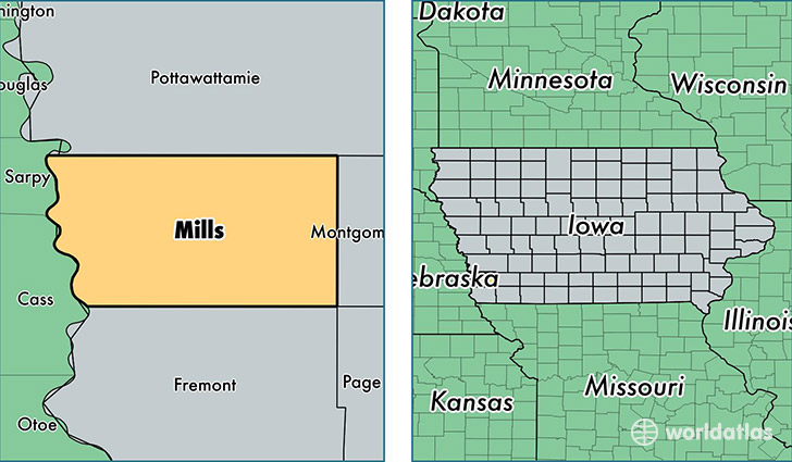
Mills County is a county equivalent area found in Iowa, USA. The county government of Mills is found in the county seat of Glenwood.
With a total 1,141.26 sq. km of land and water area, Mills County, Iowa is the 2386th largest county equivalent area in the United States. Home to 14,831 people, Mills County has a total 6069 households earning 63076 on average per year.
Mills County, Iowa - Quick Facts
| FIPS Code | 19129 |
| Area Codes | 712 |
| Time Zone | CST |
| Major Cities | Glenwood (population: 9,099), Malvern (population: 1,801), Pacific Junction (population: 1,433), Emerson (population: 881), Hastings (population: 442), Henderson (population: 357), Mineola (population: 184) |
| Land Area | 5,726 sq miles |
| Water Area | 437 sq miles |
| Household Income | $63,076 |
| Housing Units | 6,069 |
| Median Home Value | $149,400 |
| High School Grads | 92% of population |
| Holders of Bachelors Degrees | 24% of population |
| Retail Spending | $5,187 per capita |
| Food & Accomodation Sales | $5,388 per capita |
This page was last updated on June 30, 2016.