Where is Lyon County, Iowa?
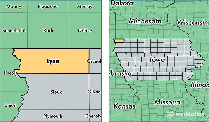
Lyon County is a county equivalent area found in Iowa, USA. The county government of Lyon is found in the county seat of Rock Rapids.
With a total 1,522.34 sq. km of land and water area, Lyon County, Iowa is the 1788th largest county equivalent area in the United States. Home to 11,683 people, Lyon County has a total 4923 households earning 52152 on average per year.
Lyon County, Iowa - Quick Facts
| FIPS Code | 19119 |
| Area Codes | 712 |
| Time Zone | CST |
| Major Cities | Rock Rapids (population: 3,902), Inwood (population: 1,772), Larchwood (population: 1,763), George (population: 1,728), Doon (population: 1,095), Little Rock (population: 817), Alvord (population: 469), Lester (population: 215) |
| Land Area | 4,511 sq miles |
| Water Area | 588 sq miles |
| Household Income | $52,152 |
| Housing Units | 4,923 |
| Median Home Value | $105,700 |
| High School Grads | 89% of population |
| Holders of Bachelors Degrees | 18% of population |
| Retail Spending | $8,113 per capita |
This page was last updated on June 30, 2016.