Where is Johnson County, Iowa?
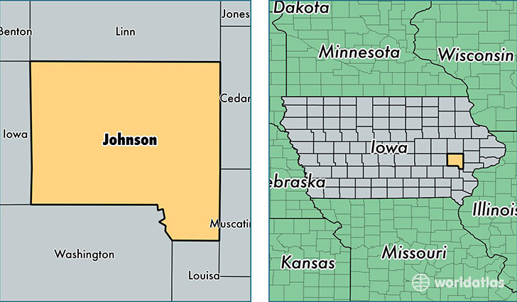
Johnson County is a county equivalent area found in Iowa, USA. The county government of Johnson is found in the county seat of Iowa City.
With a total 1,613.95 sq. km of land and water area, Johnson County, Iowa is the 1659th largest county equivalent area in the United States. Home to 142,287 people, Johnson County has a total 57710 households earning 53424 on average per year.
Johnson County, Iowa - Quick Facts
| FIPS Code | 19103 |
| Area Codes | 319 |
| Time Zone | CST |
| Major Cities | Iowa City (population: 80,726), Coralville (population: 19,696), North Liberty (population: 15,388), Solon (population: 6,422), Swisher (population: 3,418), Oxford (population: 2,537), Tiffin (population: 2,270), Lone Tree (population: 2,004), Hills (population: 726) |
| Land Area | 54,937 sq miles |
| Water Area | 614 sq miles |
| Household Income | $53,424 |
| Housing Units | 57,710 |
| Median Home Value | $186,000 |
| High School Grads | 95% of population |
| Holders of Bachelors Degrees | 51% of population |
| Retail Spending | $13,168 per capita |
| Food & Accomodation Sales | $258,762 per capita |
This page was last updated on June 30, 2016.