Where is Jackson County, Iowa?
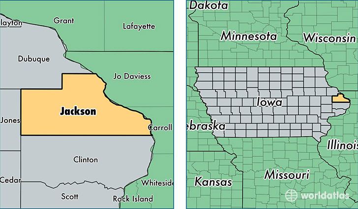
Jackson County is a county equivalent area found in Iowa, USA. The county government of Jackson is found in the county seat of Maquoketa.
With a total 1,682.47 sq. km of land and water area, Jackson County, Iowa is the 1578th largest county equivalent area in the United States. Home to 19,482 people, Jackson County has a total 9412 households earning 46467 on average per year.
Jackson County, Iowa - Quick Facts
| FIPS Code | 19097 |
| Area Codes | 563 |
| Time Zone | CST |
| Major Cities | Maquoketa (population: 8,598), Bellevue (population: 5,095), Preston (population: 1,597), Sabula (population: 1,120), La Motte (population: 935), Miles (population: 841), Zwingle (population: 783), Andrew (population: 431), Monmouth (population: 394), Baldwin (population: 380) |
| Land Area | 7,522 sq miles |
| Water Area | 636 sq miles |
| Household Income | $46,467 |
| Housing Units | 9,412 |
| Median Home Value | $110,000 |
| High School Grads | 89% of population |
| Holders of Bachelors Degrees | 15% of population |
| Retail Spending | $10,547 per capita |
| Food & Accomodation Sales | $14,490 per capita |
This page was last updated on June 30, 2016.