Where is Ida County, Iowa?
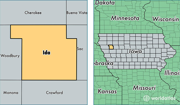
Ida County is a county equivalent area found in Iowa, USA. The county government of Ida is found in the county seat of Ida Grove.
With a total 1,119.01 sq. km of land and water area, Ida County, Iowa is the 2435th largest county equivalent area in the United States. Home to 7,042 people, Ida County has a total 3420 households earning 43449 on average per year.
Ida County, Iowa - Quick Facts
| FIPS Code | 19093 |
| Area Codes | 712 |
| Time Zone | CST |
| Major Cities | Ida Grove (population: 2,874), Holstein (population: 1,993), Battle Creek (population: 1,077), Galva (population: 658), Arthur (population: 394) |
| Land Area | 2,719 sq miles |
| Water Area | 432 sq miles |
| Household Income | $43,449 |
| Housing Units | 3,420 |
| Median Home Value | $76,400 |
| High School Grads | 89% of population |
| Holders of Bachelors Degrees | 20% of population |
| Retail Spending | $8,758 per capita |
This page was last updated on June 30, 2016.