Where is Hardin County, Iowa?
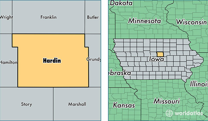
Hardin County is a county equivalent area found in Iowa, USA. The county government of Hardin is found in the county seat of Eldora.
With a total 1,476.28 sq. km of land and water area, Hardin County, Iowa is the 1933rd largest county equivalent area in the United States. Home to 17,311 people, Hardin County has a total 8163 households earning 49342 on average per year.
Hardin County, Iowa - Quick Facts
| FIPS Code | 19083 |
| Area Codes | 515,641 |
| Time Zone | CST |
| Major Cities | Iowa Falls (population: 6,762), Eldora (population: 3,411), Ackley (population: 2,436), Alden (population: 1,654), Hubbard (population: 1,354), Radcliffe (population: 1,067), Union (population: 991), Steamboat Rock (population: 586), New Providence (population: 520), Whitten (population: 149) |
| Land Area | 6,684 sq miles |
| Water Area | 570 sq miles |
| Household Income | $49,342 |
| Housing Units | 8,163 |
| Median Home Value | $89,900 |
| High School Grads | 92% of population |
| Holders of Bachelors Degrees | 20% of population |
| Retail Spending | $9,242 per capita |
| Food & Accomodation Sales | $11,447 per capita |
This page was last updated on June 30, 2016.