Where is Franklin County, Iowa?
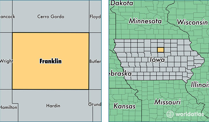
Franklin County is a county equivalent area found in Iowa, USA. The county government of Franklin is found in the county seat of Hampton.
With a total 1,508.73 sq. km of land and water area, Franklin County, Iowa is the 1817th largest county equivalent area in the United States. Home to 10,436 people, Franklin County has a total 4857 households earning 48355 on average per year.
Franklin County, Iowa - Quick Facts
| FIPS Code | 19069 |
| Area Codes | 641,515 |
| Time Zone | CST |
| Major Cities | Hampton (population: 5,707), Sheffield (population: 1,736), Latimer (population: 794), Alexander (population: 372), Geneva (population: 368), Coulter (population: 269), Bradford (population: 90), Popejoy (population: 39) |
| Land Area | 4,029 sq miles |
| Water Area | 582 sq miles |
| Household Income | $48,355 |
| Housing Units | 4,857 |
| Median Home Value | $87,500 |
| High School Grads | 85% of population |
| Holders of Bachelors Degrees | 15% of population |
| Retail Spending | $6,207 per capita |
| Food & Accomodation Sales | $4,424 per capita |
This page was last updated on June 30, 2016.