Where is Floyd County, Iowa?
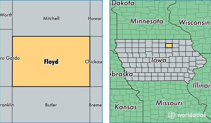
Floyd County is a county equivalent area found in Iowa, USA. The county government of Floyd is found in the county seat of Charles City.
With a total 1,298.57 sq. km of land and water area, Floyd County, Iowa is the 2177th largest county equivalent area in the United States. Home to 16,077 people, Floyd County has a total 7476 households earning 43826 on average per year.
Floyd County, Iowa - Quick Facts
| FIPS Code | 19067 |
| Area Codes | 641 |
| Time Zone | CST |
| Major Cities | Charles City (population: 10,187), Nora Springs (population: 2,067), Rockford (population: 1,591), Floyd (population: 710), Rudd (population: 678), Marble Rock (population: 629), Colwell (population: 53) |
| Land Area | 6,207 sq miles |
| Water Area | 501 sq miles |
| Household Income | $43,826 |
| Housing Units | 7,476 |
| Median Home Value | $90,200 |
| High School Grads | 91% of population |
| Holders of Bachelors Degrees | 16% of population |
| Retail Spending | $9,192 per capita |
| Food & Accomodation Sales | $13,656 per capita |
This page was last updated on June 30, 2016.