Where is Des Moines County, Iowa?
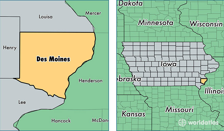
Des Moines County is a county equivalent area found in Iowa, USA. The county government of Des Moines is found in the county seat of Burlington.
With a total 1,113.05 sq. km of land and water area, Des Moines County, Iowa is the 2448th largest county equivalent area in the United States. Home to 40,255 people, Des Moines County has a total 18401 households earning 42451 on average per year.
Des Moines County, Iowa - Quick Facts
| FIPS Code | 19057 |
| Area Codes | 319 |
| Time Zone | CST |
| Major Cities | Burlington (population: 29,734), West Burlington (population: 4,220), Mediapolis (population: 2,449), Danville (population: 1,995), Sperry (population: 826), Middletown (population: 514), Yarmouth (population: 226) |
| Land Area | 15,543 sq miles |
| Water Area | 416 sq miles |
| Household Income | $42,451 |
| Housing Units | 18,401 |
| Median Home Value | $93,900 |
| High School Grads | 91% of population |
| Holders of Bachelors Degrees | 19% of population |
| Retail Spending | $15,182 per capita |
| Food & Accomodation Sales | $68,773 per capita |
| Universities and Colleges | Daytons School of Hair Design |
This page was last updated on June 30, 2016.