Where is Buchanan County, Iowa?
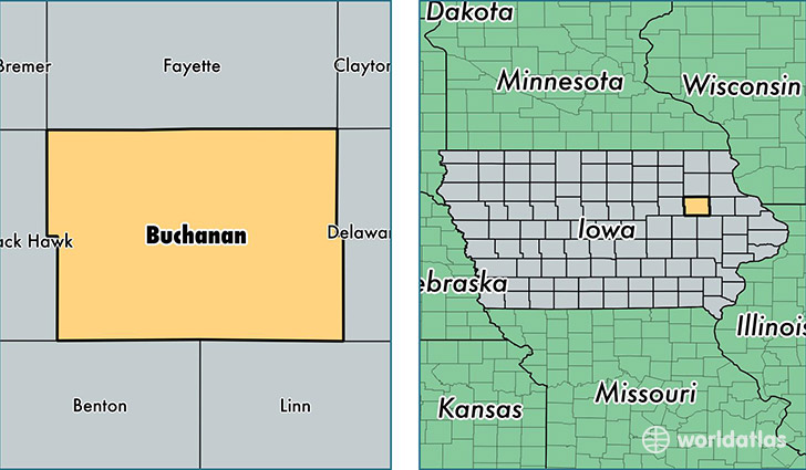
Buchanan County is a county equivalent area found in Iowa, USA. The county government of Buchanan is found in the county seat of Independence.
With a total 1,484.36 sq. km of land and water area, Buchanan County, Iowa is the 1901st largest county equivalent area in the United States. Home to 21,038 people, Buchanan County has a total 8951 households earning 55553 on average per year.
Buchanan County, Iowa - Quick Facts
| FIPS Code | 19019 |
| Area Codes | 319 |
| Time Zone | CST |
| Major Cities | Independence (population: 8,641), Jesup (population: 4,056), Fairbank (population: 2,417), Hazleton (population: 2,015), Winthrop (population: 1,570), Rowley (population: 802), Lamont (population: 736), Brandon (population: 696), Quasqueton (population: 546), Aurora (population: 480) |
| Land Area | 8,123 sq miles |
| Water Area | 571 sq miles |
| Household Income | $55,553 |
| Housing Units | 8,951 |
| Median Home Value | $122,200 |
| High School Grads | 91% of population |
| Holders of Bachelors Degrees | 17% of population |
| Retail Spending | $10,242 per capita |
| Food & Accomodation Sales | $11,530 per capita |
This page was last updated on June 30, 2016.