Where is Benton County, Iowa?
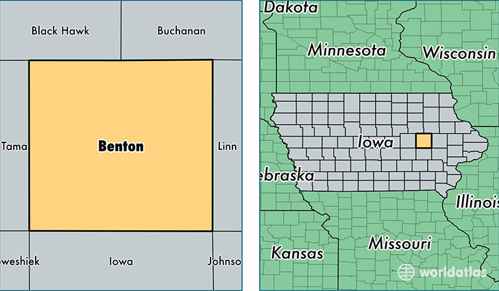
Benton County is a county equivalent area found in Iowa, USA. The county government of Benton is found in the county seat of Vinton.
With a total 1,860.88 sq. km of land and water area, Benton County, Iowa is the 1377th largest county equivalent area in the United States. Home to 25,680 people, Benton County has a total 11051 households earning 56669 on average per year.
Benton County, Iowa - Quick Facts
| FIPS Code | 19011 |
| Area Codes | 319 |
| Time Zone | CST |
| Major Cities | Vinton (population: 7,570), Belle Plaine (population: 3,122), Atkins (population: 2,281), Shellsburg (population: 1,987), Urbana (population: 1,453), Walford (population: 1,451), Newhall (population: 1,210), Van Horne (population: 1,074), Blairstown (population: 1,063), Norway (population: 1,023) |
| Land Area | 9,915 sq miles |
| Water Area | 716 sq miles |
| Household Income | $56,669 |
| Housing Units | 11,051 |
| Median Home Value | $131,500 |
| High School Grads | 92% of population |
| Holders of Bachelors Degrees | 19% of population |
| Retail Spending | $6,645 per capita |
| Food & Accomodation Sales | $9,616 per capita |
This page was last updated on June 30, 2016.