Where is Audubon County, Iowa?
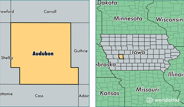
Audubon County is a county equivalent area found in Iowa, USA. The county government of Audubon is found in the county seat of Audubon.
With a total 1,148.42 sq. km of land and water area, Audubon County, Iowa is the 2373rd largest county equivalent area in the United States. Home to 5,794 people, Audubon County has a total 2983 households earning 48313 on average per year.
Audubon County, Iowa - Quick Facts
| FIPS Code | 19009 |
| Area Codes | 712 |
| Time Zone | CST |
| Major Cities | Audubon (population: 3,211), Exira (population: 1,450), Kimballton (population: 430), Brayton (population: 298), Hamlin (population: 186), Gray (population: 78) |
| Land Area | 2,237 sq miles |
| Water Area | 443 sq miles |
| Household Income | $48,313 |
| Housing Units | 2,983 |
| Median Home Value | $71,100 |
| High School Grads | 90% of population |
| Holders of Bachelors Degrees | 17% of population |
| Retail Spending | $6,083 per capita |
This page was last updated on June 30, 2016.