Where is Tattnall County, Georgia?
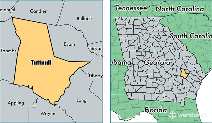
Tattnall County is a county equivalent area found in Georgia, USA. The county government of Tattnall is found in the county seat of Reidsville.
With a total 1,264.82 sq. km of land and water area, Tattnall County, Georgia is the 2219th largest county equivalent area in the United States. Home to 25,224 people, Tattnall County has a total 9800 households earning 37587 on average per year.
Tattnall County, Georgia - Quick Facts
| FIPS Code | 13267 |
| Area Codes | 912 |
| Time Zone | EST |
| Major Cities | Glennville (population: 13,053), Reidsville (population: 9,651), Collins (population: 3,362), Cobbtown (population: 1,455), Manassas (population: 73) |
| Land Area | 9,739 sq miles |
| Water Area | 480 sq miles |
| Household Income | $37,587 |
| Housing Units | 9,800 |
| Median Home Value | $86,100 |
| High School Grads | 75% of population |
| Holders of Bachelors Degrees | 12% of population |
| Retail Spending | $4,457 per capita |
| Food & Accomodation Sales | $9,522 per capita |
This page was last updated on June 30, 2016.