Where is Spalding County, Georgia?
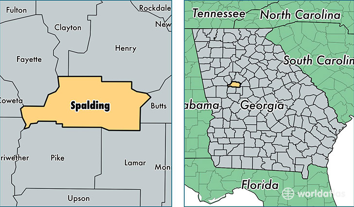
Spalding County is a county equivalent area found in Georgia, USA. The county government of Spalding is found in the county seat of Griffin.
With a total 516.94 sq. km of land and water area, Spalding County, Georgia is the 3020th largest county equivalent area in the United States. Home to 63,988 people, Spalding County has a total 26843 households earning 41534 on average per year.
Spalding County, Georgia - Quick Facts
| FIPS Code | 13255 |
| Area Codes | 770 |
| Time Zone | EST |
| Major Cities | Griffin (population: 61,757), Sunny Side (population: 54) |
| Land Area | 24,706 sq miles |
| Water Area | 196 sq miles |
| Household Income | $41,534 |
| Housing Units | 26,843 |
| Median Home Value | $113,900 |
| High School Grads | 77% of population |
| Holders of Bachelors Degrees | 15% of population |
| Retail Spending | $10,492 per capita |
| Food & Accomodation Sales | $77,353 per capita |
This page was last updated on June 30, 2016.