Where is Muscogee County, Georgia?
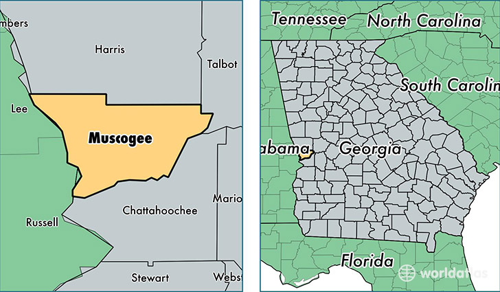
Muscogee County is a county equivalent area found in Georgia, USA. The county government of Muscogee is found in the county seat of Columbus.
With a total 572.4 sq. km of land and water area, Muscogee County, Georgia is the 2991st largest county equivalent area in the United States. Home to 200,887 people, Muscogee County has a total 83270 households earning 41339 on average per year.
Muscogee County, Georgia - Quick Facts
| FIPS Code | 13215 |
| Area Codes | 706 |
| Time Zone | EST |
| Major Cities | Columbus (population: 181,710), Midland (population: 8,781), Upatoi (population: 1,422) |
| Land Area | 77,563 sq miles |
| Water Area | 217 sq miles |
| Household Income | $41,339 |
| Housing Units | 83,270 |
| Median Home Value | $133,300 |
| High School Grads | 85% of population |
| Holders of Bachelors Degrees | 23% of population |
| Retail Spending | $15,482 per capita |
| Food & Accomodation Sales | $428,162 per capita |
| Universities and Colleges | Southeastern Beauty School, Rivertown School of Beauty |
This page was last updated on June 30, 2016.