Where is Franklin County, Georgia?
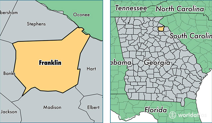
Franklin County is a county equivalent area found in Georgia, USA. The county government of Franklin is found in the county seat of Carnesville.
With a total 690.11 sq. km of land and water area, Franklin County, Georgia is the 2910th largest county equivalent area in the United States. Home to 22,264 people, Franklin County has a total 10402 households earning 34830 on average per year.
Franklin County, Georgia - Quick Facts
| FIPS Code | 13119 |
| Area Codes | 706 |
| Time Zone | EST |
| Major Cities | Royston (population: 8,507), Lavonia (population: 7,208), Carnesville (population: 4,902), Franklin Springs (population: 359) |
| Land Area | 8,596 sq miles |
| Water Area | 261 sq miles |
| Household Income | $34,830 |
| Housing Units | 10,402 |
| Median Home Value | $114,800 |
| High School Grads | 72% of population |
| Holders of Bachelors Degrees | 13% of population |
| Retail Spending | $14,431 per capita |
| Food & Accomodation Sales | $22,760 per capita |
| Universities and Colleges | Emmanuel College |
This page was last updated on June 30, 2016.