Where is Colquitt County, Georgia?
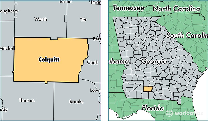
Colquitt County is a county equivalent area found in Georgia, USA. The county government of Colquitt is found in the county seat of Moultrie.
With a total 1,441.69 sq. km of land and water area, Colquitt County, Georgia is the 1986th largest county equivalent area in the United States. Home to 46,102 people, Colquitt County has a total 18160 households earning 32484 on average per year.
Colquitt County, Georgia - Quick Facts
| FIPS Code | 13071 |
| Area Codes | 229 |
| Time Zone | EST |
| Major Cities | Moultrie (population: 34,698), Norman Park (population: 5,744), Doerun (population: 3,231), Omega (population: 3,032), Hartsfield (population: 979), Berlin (population: 500), Ellenton (population: 284) |
| Land Area | 17,800 sq miles |
| Water Area | 544 sq miles |
| Household Income | $32,484 |
| Housing Units | 18,160 |
| Median Home Value | $83,500 |
| High School Grads | 72% of population |
| Holders of Bachelors Degrees | 13% of population |
| Retail Spending | $9,669 per capita |
| Food & Accomodation Sales | $35,043 per capita |
This page was last updated on June 30, 2016.