Where is Baldwin County, Georgia?
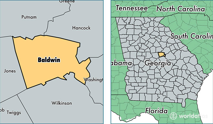
Baldwin County is a county equivalent area found in Georgia, USA. The county government of Baldwin is found in the county seat of Milledgeville.
With a total 694.83 sq. km of land and water area, Baldwin County, Georgia is the 2904th largest county equivalent area in the United States. Home to 45,909 people, Baldwin County has a total 20095 households earning 32751 on average per year.
Baldwin County, Georgia - Quick Facts
| FIPS Code | 13009 |
| Area Codes | 478 |
| Time Zone | EST |
| Major Cities | Milledgeville (population: 44,860), Hardwick (population: 5,060) |
| Land Area | 17,726 sq miles |
| Water Area | 259 sq miles |
| Household Income | $32,751 |
| Housing Units | 20,095 |
| Median Home Value | $103,900 |
| High School Grads | 82% of population |
| Holders of Bachelors Degrees | 19% of population |
| Retail Spending | $11,267 per capita |
| Food & Accomodation Sales | $57,925 per capita |
This page was last updated on June 30, 2016.