Where is Taylor County, Florida?
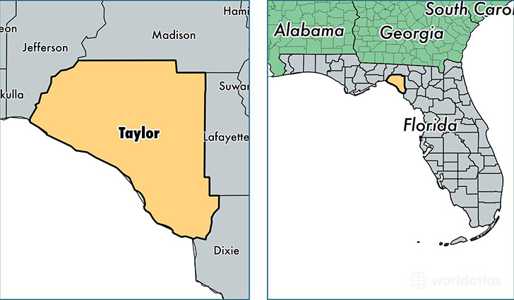
Taylor County is a county equivalent area found in Florida, USA. The county government of Taylor is found in the county seat of Perry.
With a total 3,191.44 sq. km of land and water area, Taylor County, Florida is the 566th largest county equivalent area in the United States. Home to 22,582 people, Taylor County has a total 10812 households earning 36356 on average per year.
Taylor County, Florida - Quick Facts
| FIPS Code | 12123 |
| Area Codes | 850,352 |
| Time Zone | EST |
| Major Cities | Perry (population: 20,656), Steinhatchee (population: 1,721), Shady Grove (population: 174), Salem (population: 129) |
| Land Area | 8,719 sq miles |
| Water Area | 1,043 sq miles |
| Household Income | $36,356 |
| Housing Units | 10,812 |
| Median Home Value | $87,400 |
| High School Grads | 77% of population |
| Holders of Bachelors Degrees | 12% of population |
| Retail Spending | $9,886 per capita |
| Food & Accomodation Sales | $19,967 per capita |
This page was last updated on June 30, 2016.