Where is Okaloosa County, Florida?
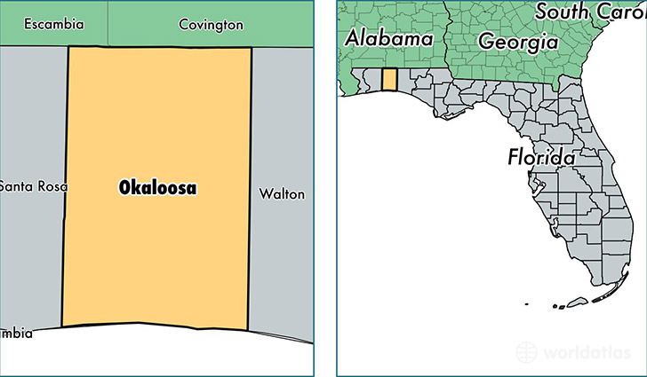
Okaloosa County is a county equivalent area found in Florida, USA. The county government of Okaloosa is found in the county seat of Crestview.
With a total 2,802.57 sq. km of land and water area, Okaloosa County, Florida is the 680th largest county equivalent area in the United States. Home to 196,512 people, Okaloosa County has a total 93946 households earning 54684 on average per year.
Okaloosa County, Florida offers the following attraction to visitors: Air Force Armament Museum
Okaloosa County, Florida - Quick Facts
| FIPS Code | 12091 |
| Area Codes | 850 |
| Time Zone | CST |
| Major Cities | Fort Walton Beach (population: 54,481), Crestview (population: 47,078), Niceville (population: 31,645), Destin (population: 16,362), Mary Esther (population: 11,810), Shalimar (population: 10,509), Baker (population: 5,567), Valparaiso (population: 3,849), Eglin AFB (population: 3,634), Holt (population: 3,026) |
| Land Area | 75,874 sq miles |
| Water Area | 930 sq miles |
| Household Income | $54,684 |
| Housing Units | 93,946 |
| Median Home Value | $182,100 |
| High School Grads | 91% of population |
| Holders of Bachelors Degrees | 27% of population |
| Retail Spending | $16,754 per capita |
| Food & Accomodation Sales | $491,894 per capita |
| Universities and Colleges | Northwest Florida State College |
This page was last updated on June 30, 2016.