Where is Broward County, Florida?
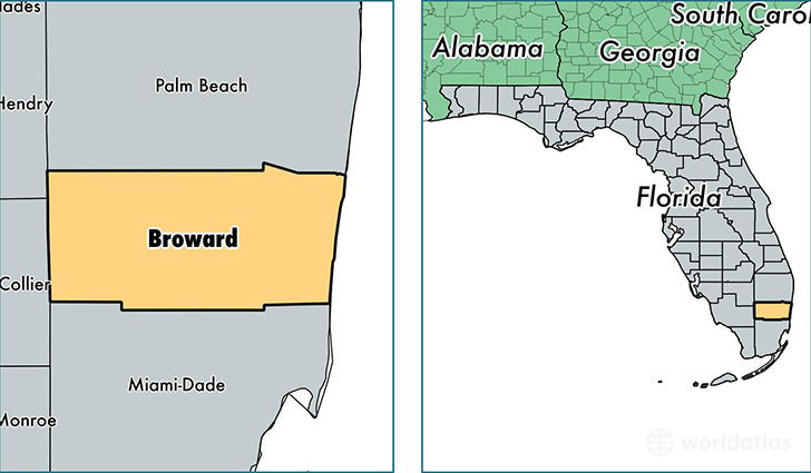
Broward County is a county equivalent area found in Florida, USA. The county government of Broward is found in the county seat of Fort Lauderdale.
With a total 3,426.21 sq. km of land and water area, Broward County, Florida is the 512th largest county equivalent area in the United States. Home to 1,869,235 people, Broward County has a total 812565 households earning 51251 on average per year.
Broward is the home to this professional sports team: Florida Panthers (NHL)
Broward County, Florida - Quick Facts
| FIPS Code | 12011 |
| Area Codes | 954 |
| Time Zone | EST |
| Major Cities | Fort Lauderdale (population: 794,971), Pompano Beach (population: 441,962), Hollywood (population: 436,405), Deerfield Beach (population: 57,019), Hallandale (population: 40,850), Pembroke Pines (population: 27,720), Dania (population: 16,186) |
| Land Area | 721,715 sq miles |
| Water Area | 1,207 sq miles |
| Household Income | $51,251 |
| Housing Units | 812,565 |
| Median Home Value | $181,500 |
| High School Grads | 88% of population |
| Holders of Bachelors Degrees | 30% of population |
| Retail Spending | $17,680 per capita |
| Food & Accomodation Sales | $4,209,090 per capita |
| Universities and Colleges | ASM Beauty World Academy, Le Cordon Bleu College of Culinary Arts-Miami |
This page was last updated on June 30, 2016.