Where is Litchfield County, Connecticut?
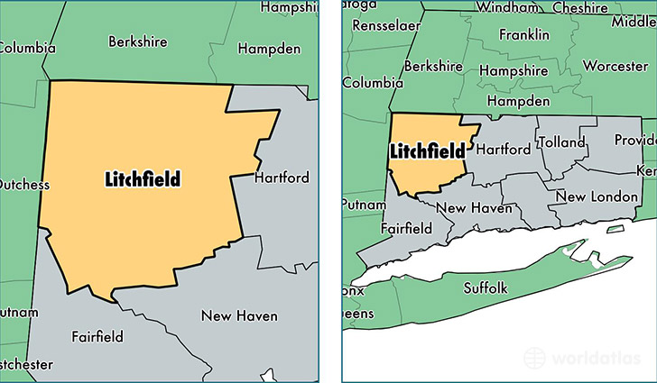
Litchfield County is a county equivalent area found in Connecticut, USA.
With a total 2,446.4 sq. km of land and water area, Litchfield County, Connecticut is the 848th largest county equivalent area in the United States. Home to 184,993 people, Litchfield County has a total 87269 households earning 71338 on average per year.
Litchfield County, Connecticut - Quick Facts
| FIPS Code | 9005 |
| Area Codes | 860,203 |
| Time Zone | EST |
| Major Cities | Torrington (population: 36,021), New Milford (population: 26,549), Watertown (population: 13,965), Winsted (population: 12,269), Woodbury (population: 9,857), Terryville (population: 9,742), Oakville (population: 8,218), Thomaston (population: 7,874), New Hartford (population: 6,622), Litchfield (population: 5,647) |
| Land Area | 71,426 sq miles |
| Water Area | 920 sq miles |
| Household Income | $71,338 |
| Housing Units | 87,269 |
| Median Home Value | $263,600 |
| High School Grads | 91% of population |
| Holders of Bachelors Degrees | 33% of population |
| Retail Spending | $13,043 per capita |
| Food & Accomodation Sales | $245,161 per capita |
| Universities and Colleges | Northwestern Connecticut Community College |
This page was last updated on June 30, 2016.