Where is Logan County, Colorado?
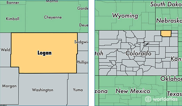
Logan County is a county equivalent area found in Colorado, USA. The county government of Logan is found in the county seat of Sterling.
With a total 4,778.35 sq. km of land and water area, Logan County, Colorado is the 358th largest county equivalent area in the United States. Home to 22,524 people, Logan County has a total 8923 households earning 40415 on average per year.
Logan County, Colorado - Quick Facts
| FIPS Code | 8075 |
| Area Codes | 970 |
| Time Zone | MST |
| Major Cities | Sterling (population: 18,792), Merino (population: 931), Fleming (population: 874), Iliff (population: 645), Peetz (population: 460), Crook (population: 379), Atwood (population: 347), Padroni (population: 155) |
| Land Area | 8,697 sq miles |
| Water Area | 1,839 sq miles |
| Household Income | $40,415 |
| Housing Units | 8,923 |
| Median Home Value | $119,800 |
| High School Grads | 89% of population |
| Holders of Bachelors Degrees | 16% of population |
| Retail Spending | $13,454 per capita |
| Food & Accomodation Sales | $23,276 per capita |
| Universities and Colleges | Northeastern Junior College |
This page was last updated on June 30, 2016.