Where is Larimer County, Colorado?
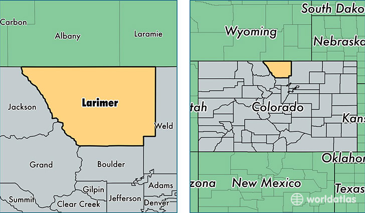
Larimer County is a county equivalent area found in Colorado, USA. The county government of Larimer is found in the county seat of Fort Collins.
With a total 6,822.04 sq. km of land and water area, Larimer County, Colorado is the 215th largest county equivalent area in the United States. Home to 324,122 people, Larimer County has a total 136068 households earning 58626 on average per year.
Larimer County, Colorado offers the following attraction to visitors: Rocky Mountain NP
Larimer County, Colorado - Quick Facts
| FIPS Code | 8069 |
| Area Codes | 970,303 |
| Time Zone | MST |
| Major Cities | Fort Collins (population: 181,990), Loveland (population: 85,749), Berthoud (population: 10,674), Estes Park (population: 9,728), Wellington (population: 8,956), Lyons (population: 4,623), Laporte (population: 2,731), Bellvue (population: 2,264), Livermore (population: 1,822), Drake (population: 1,046) |
| Land Area | 125,144 sq miles |
| Water Area | 2,596 sq miles |
| Household Income | $58,626 |
| Housing Units | 136,068 |
| Median Home Value | $247,100 |
| High School Grads | 94% of population |
| Holders of Bachelors Degrees | 44% of population |
| Retail Spending | $13,672 per capita |
| Food & Accomodation Sales | $604,358 per capita |
| Universities and Colleges | Colorado State University System Office |
This page was last updated on June 30, 2016.