Where is Delta County, Colorado?
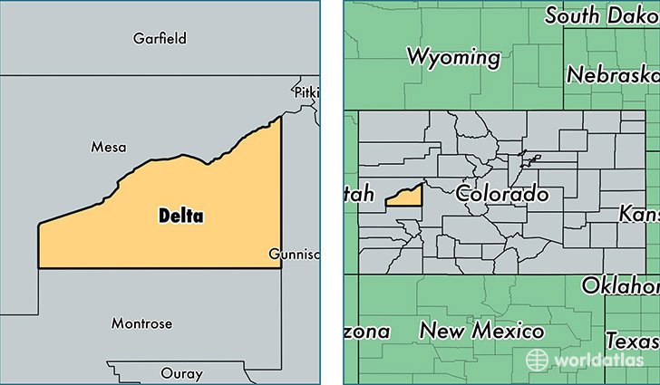
Delta County is a county equivalent area found in Colorado, USA. The county government of Delta is found in the county seat of Delta.
With a total 2,974.89 sq. km of land and water area, Delta County, Colorado is the 623rd largest county equivalent area in the United States. Home to 29,870 people, Delta County has a total 14445 households earning 42078 on average per year.
Delta County, Colorado - Quick Facts
| FIPS Code | 8029 |
| Area Codes | 970 |
| Time Zone | MST |
| Major Cities | Delta (population: 13,642), Cedaredge (population: 5,154), Hotchkiss (population: 3,817), Paonia (population: 3,638), Eckert (population: 1,685), Austin (population: 1,627), Crawford (population: 1,585) |
| Land Area | 11,533 sq miles |
| Water Area | 1,142 sq miles |
| Household Income | $42,078 |
| Housing Units | 14,445 |
| Median Home Value | $191,200 |
| High School Grads | 88% of population |
| Holders of Bachelors Degrees | 18% of population |
| Retail Spending | $10,353 per capita |
| Food & Accomodation Sales | $26,912 per capita |
This page was last updated on June 30, 2016.