Where is Conejos County, Colorado?
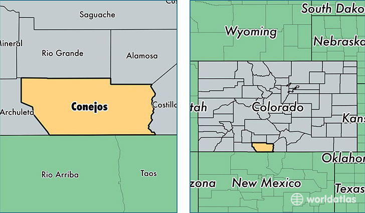
Conejos County is a county equivalent area found in Colorado, USA. The county government of Conejos is found in the county seat of Conejos.
With a total 3,343.35 sq. km of land and water area, Conejos County, Colorado is the 531st largest county equivalent area in the United States. Home to 8,265 people, Conejos County has a total 4262 households earning 34526 on average per year.
Conejos County, Colorado - Quick Facts
| FIPS Code | 8021 |
| Area Codes | 719 |
| Time Zone | MST |
| Major Cities | La Jara (population: 2,346), Antonito (population: 2,272), Sanford (population: 1,475), Manassa (population: 1,321), Romeo (population: 404), Capulin (population: 303), Conejos (population: 156) |
| Land Area | 3,191 sq miles |
| Water Area | 1,287 sq miles |
| Household Income | $34,526 |
| Housing Units | 4,262 |
| Median Home Value | $109,700 |
| High School Grads | 83% of population |
| Holders of Bachelors Degrees | 19% of population |
| Retail Spending | $4,132 per capita |
| Food & Accomodation Sales | $4,499 per capita |
This page was last updated on June 30, 2016.