Where is Chaffee County, Colorado?
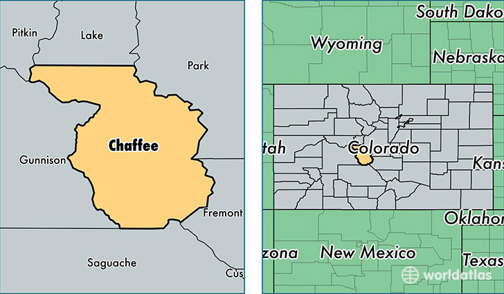
Chaffee County is a county equivalent area found in Colorado, USA. The county government of Chaffee is found in the county seat of Salida.
With a total 2,628.72 sq. km of land and water area, Chaffee County, Colorado is the 753rd largest county equivalent area in the United States. Home to 18,363 people, Chaffee County has a total 10201 households earning 46504 on average per year.
Chaffee County, Colorado offers the following attraction to visitors: Browns Canyon NM
Chaffee County, Colorado - Quick Facts
| FIPS Code | 8015 |
| Area Codes | 719 |
| Time Zone | MST |
| Major Cities | Salida (population: 8,808), Buena Vista (population: 7,768), Nathrop (population: 1,036), Poncha Springs (population: 617), Monarch (population: 10) |
| Land Area | 7,090 sq miles |
| Water Area | 1,014 sq miles |
| Household Income | $46,504 |
| Housing Units | 10,201 |
| Median Home Value | $262,300 |
| High School Grads | 91% of population |
| Holders of Bachelors Degrees | 34% of population |
| Retail Spending | $14,982 per capita |
| Food & Accomodation Sales | $49,240 per capita |
This page was last updated on June 30, 2016.