Where is Ventura County, California?
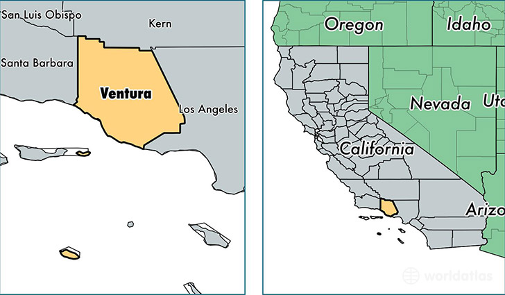
Ventura County is a county equivalent area found in California, USA. The county government of Ventura is found in the county seat of Ventura.
With a total 5,719.33 sq. km of land and water area, Ventura County, California is the 282nd largest county equivalent area in the United States. Home to 846,178 people, Ventura County has a total 282820 households earning 76544 on average per year.
Ventura County, California offers the following attractions to visitors: Rancho Camulos, Fillmore and Western Railway, Ronald Reagan Library
Ventura County, California - Quick Facts
| FIPS Code | 6111 |
| Area Codes | 805 |
| Time Zone | PST |
| Major Cities | Oxnard (population: 214,775), Simi Valley (population: 128,825), Ventura (population: 114,344), Thousand Oaks (population: 79,652), Camarillo (population: 78,709), Newbury Park (population: 44,954), Moorpark (population: 36,982), Santa Paula (population: 33,315), Port Hueneme (population: 24,004), Ojai (population: 20,905) |
| Land Area | 326,711 sq miles |
| Water Area | 1,843 sq miles |
| Household Income | $76,544 |
| Housing Units | 282,820 |
| Median Home Value | $442,200 |
| High School Grads | 83% of population |
| Holders of Bachelors Degrees | 31% of population |
| Retail Spending | $14,036 per capita |
| Food & Accomodation Sales | $1,478,160 per capita |
| Universities and Colleges | Thomas Aquinas College |
This page was last updated on June 30, 2016.