Where is San Mateo County, California?
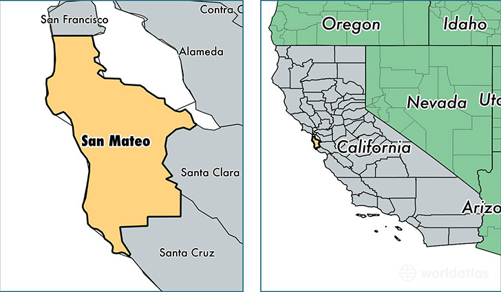
San Mateo County is a county equivalent area found in California, USA. The county government of San Mateo is found in the county seat of Redwood City.
With a total 1,919.07 sq. km of land and water area, San Mateo County, California is the 1300th largest county equivalent area in the United States. Home to 758,581 people, San Mateo County has a total 272149 households earning 88202 on average per year.
San Mateo County, California offers the following attraction to visitors: Hiller Aviation Museum
San Mateo County, California - Quick Facts
| FIPS Code | 6081 |
| Area Codes | 650 |
| Time Zone | PST |
| Major Cities | San Mateo (population: 135,625), Daly City (population: 111,074), Redwood City (population: 107,459), South San Francisco (population: 65,832), San Bruno (population: 42,324), Burlingame (population: 41,919), Menlo Park (population: 41,702), Pacifica (population: 38,378), San Carlos (population: 30,012), Belmont (population: 26,746) |
| Land Area | 292,890 sq miles |
| Water Area | 449 sq miles |
| Household Income | $88,202 |
| Housing Units | 272,149 |
| Median Home Value | $722,200 |
| High School Grads | 89% of population |
| Holders of Bachelors Degrees | 44% of population |
| Retail Spending | $14,625 per capita |
| Food & Accomodation Sales | $2,107,180 per capita |
| Universities and Colleges | Hilltop Beauty School, Menlo College |
This page was last updated on June 30, 2016.