Where is Placer County, California?
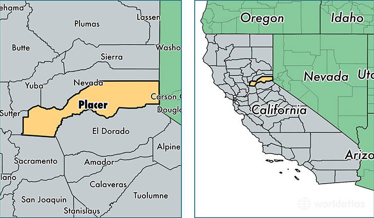
Placer County is a county equivalent area found in California, USA. The county government of Placer is found in the county seat of Auburn.
With a total 3,890.72 sq. km of land and water area, Placer County, California is the 445th largest county equivalent area in the United States. Home to 371,694 people, Placer County has a total 155873 households earning 72725 on average per year.
Placer County, California - Quick Facts
| FIPS Code | 6061 |
| Area Codes | 530,916 |
| Time Zone | PST |
| Major Cities | Roseville (population: 127,523), Rocklin (population: 59,485), Lincoln (population: 49,154), Auburn (population: 46,907), Granite Bay (population: 22,276), Loomis (population: 12,920), Colfax (population: 9,856), Newcastle (population: 6,524), Foresthill (population: 6,307), Meadow Vista (population: 4,759) |
| Land Area | 143,512 sq miles |
| Water Area | 1,407 sq miles |
| Household Income | $72,725 |
| Housing Units | 155,873 |
| Median Home Value | $342,000 |
| High School Grads | 94% of population |
| Holders of Bachelors Degrees | 35% of population |
| Retail Spending | $18,622 per capita |
| Food & Accomodation Sales | $773,617 per capita |
This page was last updated on June 30, 2016.